Devon · TQ8
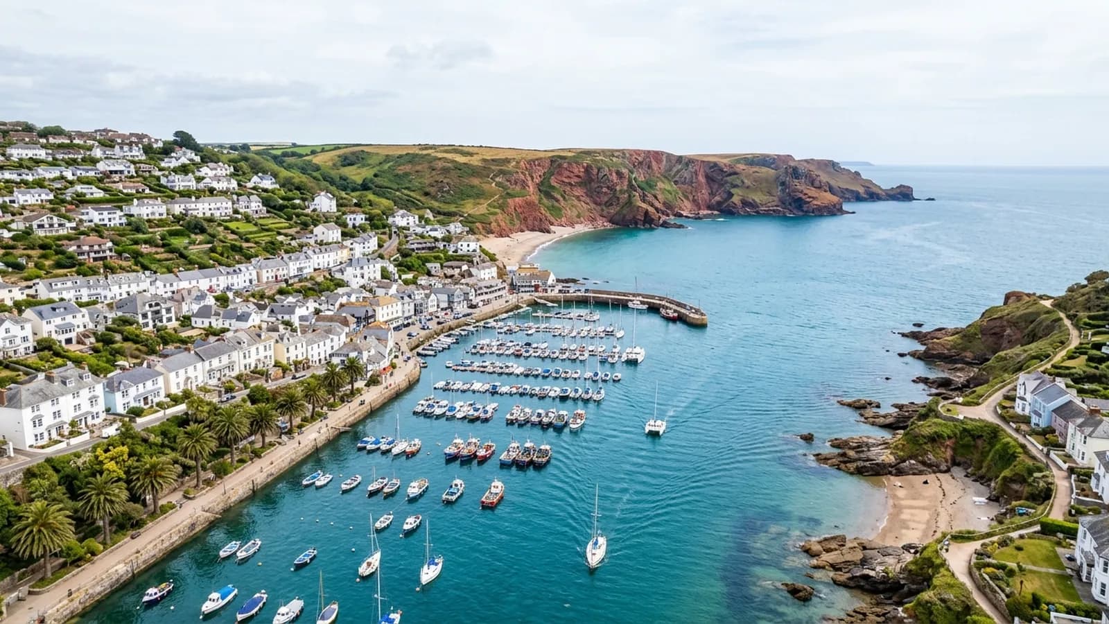
Drone survey in Salcombe
Contemporary flat roofs, glazing and terraces stacked on a very steep hillside above the water, in one of the most salt-exposed places on this list.
Modern detailing in a hard place
Alongside the Victorian and Edwardian villas and the dense old core near the harbour, Salcombe has a large number of contemporary architect-designed houses with flat roofs, zinc and standing seam metal, big glazed elements and roof terraces.
Those details are demanding anywhere and they are demanding here in particular, because wind-driven rain arrives horizontally. A flat roof upstand, a terrace threshold, a glazing junction and a metal seam all depend on being detailed correctly and staying that way. They also tend to be at the top of a building that is already at the top of a hill.
Very exposed, very steep
The town is stacked up a hillside above the mouth of the Kingsbridge estuary with cliffs at Bolt Head to the west, and it is fully open to the south and to salt. Exposure is not an occasional storm event here, it is the ordinary condition.
The gradient compounds it. Access equipment on ground that steep is expensive and sometimes impossible, and a great many Salcombe roofs have simply never been inspected since they were built because nobody could work out how to get to them economically.
Second homes and the empty house problem
A large share of the stock is second homes and holiday lets, which means buildings stand empty for long periods. A defect that would be noticed in a week in an occupied house can run for a season here, and water gets a long time to do its work before anybody sees a mark on a ceiling.
That is the strongest local argument for a periodic aerial record. An hour once a year on a building that is empty for eight months of it is a cheap way of catching something early, and it can be done without anybody being there beyond opening a gate.
Flying above the water rather than the houses
The harbour and the estuary give good open approaches, so elevations facing the water are usually straightforward. The inland faces are harder, because the properties above are close and the ground rises fast.
Take off ground is the usual planning question. Driveways here are often steep and short, and a level position with nothing overhead frequently has to be borrowed from a neighbour or found further up the lane.
North Sands, South Sands and the lanes above them
The lanes running down to North Sands and South Sands are narrow, steep and busy in season, and the houses along them are often on ground that falls away sharply behind the road. That combination makes conventional access unusually awkward even by the standards of this coast.
For a TQ8 property in that position the practical planning question is simply where the aircraft can stand. Sometimes the answer is a passing place, sometimes a neighbour's drive, and sometimes the only sensible option is to work from above the property rather than below it.
Overbeck's and the ground towards Bolt Head give a sense of how quickly the terrain rises, and properties up there are effectively cliff top buildings in terms of what the weather does to them.
Behind the survey
What Salcombe clients are actually buying
CAA registered
Registered with the Civil Aviation Authority as an operator, with both an Operator ID and a Flyer ID held. Anybody flying a camera drone for you should hold both.
A2 Certificate of Competency
The qualification that covers flying closer to buildings and to people than the basic rules allow. It is not a GVC and this site does not claim one.
Insured with Coverdrone
Commercial flights are covered by a Coverdrone policy. A copy of the certificate is available on request, and most managing agents will ask for it.
One named surveyor
Sam Hembury plans and flies every job himself and writes up every report. There is no crew and no subcontractor, so the person you speak to is the person who turns up.
DJI Mavic 4 Pro
A 100 megapixel Hasselblad camera and 6K video. That resolution is the reason a cracked mortar joint is readable in a photograph taken from twenty metres away.
DJI Mavic 2 Enterprise Advanced
Carries a 640 by 512 radiometric thermal camera alongside the ordinary one, which is a different job: heat and moisture rather than condition.
Report within 48 hours
The written report follows the flight within 48 hours. It is a process commitment rather than a promise about what the report will find.
Construction background
The reports are written by somebody who worked in construction before flying, so a defect is described in the words a builder or a roofer will use back to you.
Nearby
Also covered around Salcombe
- KingsbridgeA steep estuary-head town where Fore Street climbs hard from the quay and the tightly packed roofs sit in each other's turbulence.
- DartmouthA port so steep that streets become stairs, with timber-framed merchant houses whose roofs discharge straight onto the building below them.
- TotnesA medieval hill town of slate-hung frontages and jettied buildings where the roofs run into each other and the valleys collect everything that falls.
See what it costs
Get a quote in Salcombe
Send the address and what is worrying you. Sam Hembury will come back with a fixed price and the next slot that suits the weather.