The short answer
What a drone survey is, in plain words
Answers
The four questions everybody asks first
So it is just photographs?
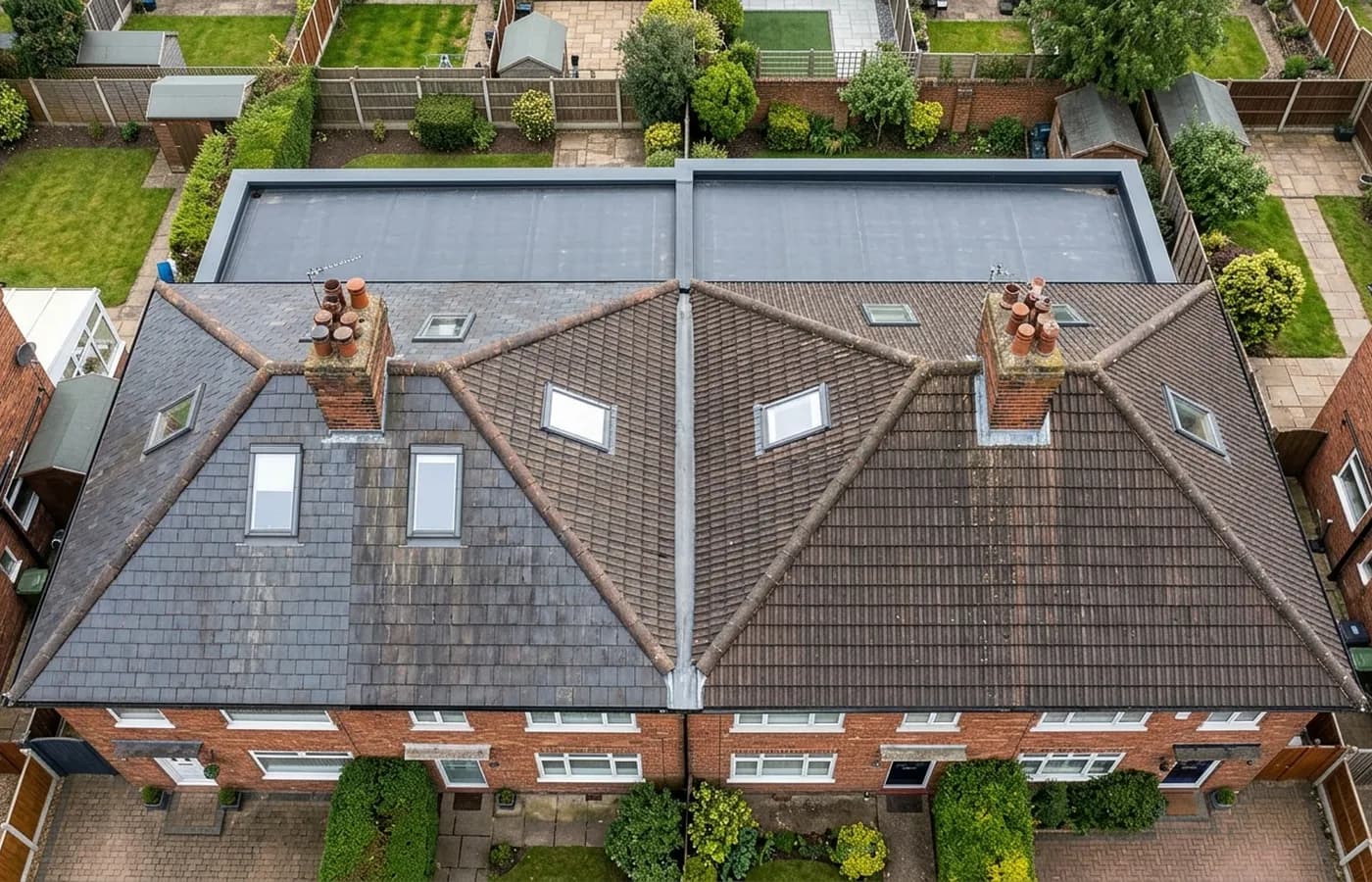
Photographs and what they mean. A folder of images with no explanation is not much use, so the work splits roughly in half: an hour or so in the air, and rather longer at a desk picking out the frames that matter, matching each one to the part of the building it shows and writing what it says. The report is the thing you keep.
How is it different from a normal survey?
A building survey is a person walking through a property and forming an opinion on it. A drone survey is a visual record of the outside, concentrated on the parts nobody can otherwise reach. They answer different questions and are frequently used together: a building surveyor flags a roof, and a flight shows what is actually up there.
What is the aircraft, and does that matter?
It matters for one reason, which is resolution. The camera on the Mavic 4 Pro is a 100 megapixel Hasselblad, and that is what makes a cracked mortar joint readable in a photograph taken from twenty metres away. The second aircraft carries a 640 by 512 radiometric thermal camera, which does a completely different job.
Does anybody need to be there?
Somebody usually needs to open a gate and point at the thing that is worrying them. Beyond that, no. Nobody goes on the roof, nothing leans on the building, nothing comes inside and no cars need moving.
Limits
What a drone survey cannot do
It cannot see through anything
No x-ray, no scanner, no seeing under a covering. Rotten battens, failed underlay and a leak tracking along a rafter are all invisible from the air, and any report claiming otherwise is guessing.
It cannot tell you what is inside a wall
Damp in a wall has several possible causes and only some of them are on the outside. A flight can eliminate the roof properly, which narrows the search. It cannot finish it.
It cannot price the repair
The report describes what is visible. What it costs to put right is a roofer's or a builder's judgement, and a survey that quoted a repair it had not scoped would be doing nobody any favours.
It cannot survey what is covered
Vegetation, standing water, snow and a tarpaulin all hide what is underneath. Where something could not be seen on the day, the report says so rather than skipping over it.
It is not a structural opinion
Photographs can show a ridge that is no longer straight or a wall that has moved. What that means structurally is an engineer's call, and the report points at it rather than pretending to answer it.
It is not a legal land measurement
An aerial image of a piece of land gives shape and position. A figure you can build to or defend in a dispute needs ground control from a land surveyor, which is a different job.
Straight answer
When you do not need one
You can already see the problem
If three slates are on the lawn and there is a visible hole, you need a roofer rather than a photographer. A survey is for when nobody knows what is up there.
The question is inside the building
Loft insulation, a rotten joist, damp behind plaster: those need somebody in the building with a torch and a meter. A flight will not add anything.
Somebody is already going up
If a scaffold is going up next week for other work, the photographs can be taken from it for nothing. Wait for that rather than paying twice.
Behind it
Who is flying, and what they hold
CAA registered
Registered with the Civil Aviation Authority as an operator, with both an Operator ID and a Flyer ID held. Anybody flying a camera drone for you should hold both.
A2 Certificate of Competency
The qualification that covers flying closer to buildings and to people than the basic rules allow. It is not a GVC and this site does not claim one.
Insured with Coverdrone
Commercial flights are covered by a Coverdrone policy. A copy of the certificate is available on request, and most managing agents will ask for it.
One named surveyor
Sam Hembury plans and flies every job himself and writes up every report. There is no crew and no subcontractor, so the person you speak to is the person who turns up.
DJI Mavic 4 Pro
A 100 megapixel Hasselblad camera and 6K video. That resolution is the reason a cracked mortar joint is readable in a photograph taken from twenty metres away.
DJI Mavic 2 Enterprise Advanced
Carries a 640 by 512 radiometric thermal camera alongside the ordinary one, which is a different job: heat and moisture rather than condition.
Report within 48 hours
The written report follows the flight within 48 hours. It is a process commitment rather than a promise about what the report will find.
Construction background
The reports are written by somebody who worked in construction before flying, so a defect is described in the words a builder or a roofer will use back to you.
More questions
Things people ask next
- Is a drone survey the same as an aerial photograph?
- An aerial photograph is a picture. A survey is a planned set of images covering every part of a structure or an area methodically, plus the written interpretation. The difference is the method and the report rather than the aircraft.
- How many photographs does a survey produce?
- A flight typically produces far more than anybody wants to look at, and the useful ones are picked out afterwards. You get the selected, captioned set in the report and the original files as well, so nothing is held back.
- Can I watch?
- Most people do. It is worth standing where you can see, because that is when you can point at the bit you are worried about and have it covered properly rather than by chance.
- How high does it go?
- Only as high as the job needs, which for a house is usually a little above the ridge. Close detail is taken from much closer than most people expect, which is where the resolution comes from.
- What if the report finds nothing wrong?
- That happens and it is a result rather than a wasted trip. A dated record showing a roof in sound condition is exactly what you want when somebody is telling you it needs replacing, or when a sale has stalled on a survey comment.
See what it costs
Still not sure whether you need one
Describe the problem in your own words. If a survey is the wrong answer for it, that is what you will be told.