Devon · TQ7
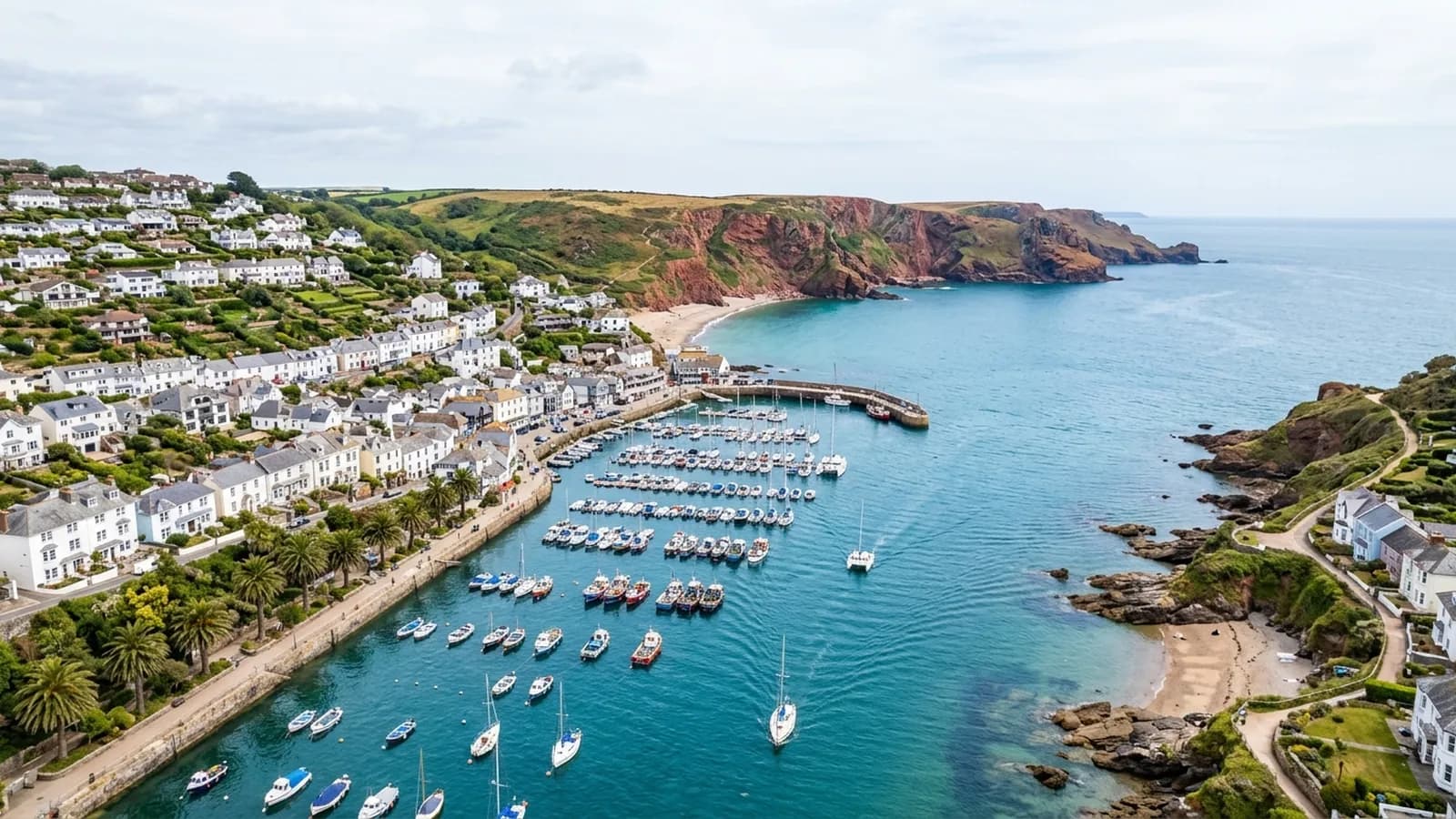
Drone survey in Kingsbridge
A steep estuary-head town where Fore Street climbs hard from the quay and the tightly packed roofs sit in each other's turbulence.
Slate hanging on the hill
Kingsbridge carries Georgian and Victorian townhouses up the hill, with slate-hung and rendered cottages among them and farmhouses across the surrounding South Hams. Slate hanging on dormers and walls is a local habit, and like everywhere it uses it, the covering both protects and conceals.
What a survey looks for on hung slate is movement rather than damage: a course that has slipped, a dormer cheek where the slates have opened, a nail sickness pattern where a whole run has begun to sag. Those show clearly in a photograph taken level with the detail and not at all from a street twenty feet below it.
Turbulence in a tight town
The estuary shelters the town from the open sea, but salt air still arrives on southerly gales, and the steep, tightly packed streets create turbulence around chimneys and dormers. Wind that would pass over a building on open ground instead swirls between buildings here.
That is hard on the projecting parts. Chimney stacks, dormer cheeks, ridge ends and any flashing at a change of level are the things that work loose, and they are all above the eaves line where nobody is looking.
The estuary and the farm hinterland
Enquiries here split between the town itself and the farms and barn conversions in the surrounding South Hams. Those are a different job again: large spans, corrugated or profiled coverings, and buildings that are worth surveying as a group rather than one at a time.
The tidal creek system to the south is useful for flying. There is open water and open ground close to the town, which gives sensible approaches, though tide and mud dictate where an aircraft can actually stand near the water.
Getting a straight answer before spending
Fore Street is a difficult place to put up a scaffold and a costly place to close a lane. That is the everyday reason people here look at aerial photography first: it answers whether there is a problem at all before anybody commits to the access that a repair would need.
For a farm group the calculation is similar but at a different scale. Flying six buildings in a morning and getting a captioned record of each is cheaper than getting a person safely onto any one of them.
The quay, the head of the estuary and the tide
The town sits at the head of the estuary and the tide governs a good deal of what happens at the quay end. That matters for flying only in so far as it decides where an aircraft can safely stand near the water, but it is worth checking before arranging a morning.
For a TQ7 property up Fore Street the more useful point is that the buildings behind the frontage often extend a long way back and downhill, so the roof arrangement is more complicated than the street elevation suggests.
The South Hams countryside around the town brings the usual rural work with it, and a farm group and a town house are commonly booked in the same trip because travel is inside the fixed price.
Behind the survey
What Kingsbridge clients are actually buying
CAA registered
Registered with the Civil Aviation Authority as an operator, with both an Operator ID and a Flyer ID held. Anybody flying a camera drone for you should hold both.
A2 Certificate of Competency
The qualification that covers flying closer to buildings and to people than the basic rules allow. It is not a GVC and this site does not claim one.
Insured with Coverdrone
Commercial flights are covered by a Coverdrone policy. A copy of the certificate is available on request, and most managing agents will ask for it.
One named surveyor
Sam Hembury plans and flies every job himself and writes up every report. There is no crew and no subcontractor, so the person you speak to is the person who turns up.
DJI Mavic 4 Pro
A 100 megapixel Hasselblad camera and 6K video. That resolution is the reason a cracked mortar joint is readable in a photograph taken from twenty metres away.
DJI Mavic 2 Enterprise Advanced
Carries a 640 by 512 radiometric thermal camera alongside the ordinary one, which is a different job: heat and moisture rather than condition.
Report within 48 hours
The written report follows the flight within 48 hours. It is a process commitment rather than a promise about what the report will find.
Construction background
The reports are written by somebody who worked in construction before flying, so a defect is described in the words a builder or a roofer will use back to you.
Nearby
Also covered around Kingsbridge
- SalcombeContemporary flat roofs, glazing and terraces stacked on a very steep hillside above the water, in one of the most salt-exposed places on this list.
- TotnesA medieval hill town of slate-hung frontages and jettied buildings where the roofs run into each other and the valleys collect everything that falls.
- DartmouthA port so steep that streets become stairs, with timber-framed merchant houses whose roofs discharge straight onto the building below them.
- IvybridgeA late twentieth century commuter town on the southern moor edge, where estates from the 1970s onward have all reached the same maintenance age together.
See what it costs
Get a quote in Kingsbridge
Send the address and what is worrying you. Sam Hembury will come back with a fixed price and the next slot that suits the weather.