Devon · EX7
Drone survey in Dawlish
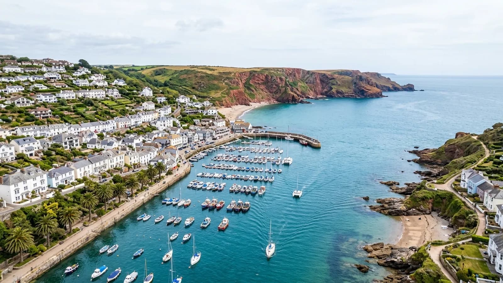
Cliff-top bungalow estates and a seafront that takes the full weight of a south-easterly, making this one of the hardest-hit roofscapes on the coast.
The shallow pitch problem on the cliff tops
Dawlish has extensive post-war bungalow development on the cliff tops, and a bungalow is a specific survey subject. The pitches are shallow, there is a lot of roof relative to the size of the building, and extensions and porches have added flat felt roofs at various dates.
A shallow pitch sheds water slowly and is more vulnerable to wind uplift than a steep one, and these particular bungalows sit on ground that takes unbroken wind off the sea. Ridge, verge and flashing failures after a storm season are a normal occurrence here rather than an unusual event, which is why the after-the-storm enquiry is so common.
A town in a cut with a railway along the front
The older town sits in a narrow valley cut into red sandstone cliffs, split by the Dawlish Water, with the main railway line running along the sea wall at the foot of it. Regency and Victorian terraces around The Lawn and seafront hotels and apartment blocks make up the historic core.
South-easterly gales throw sea water over the wall. That is a well known local fact and it has a survey consequence: salt reaches buildings that are not on the front at all, carried on the wind up the valley, so corrosion is not limited to the properties with a sea view.
What a flight has to work around
The railway and the sea wall are the obvious features, and flights are planned to stay clear of both. Away from the front, the cliff-top estates are among the easiest places in this coverage area to work: open gardens, plenty of clear ground and low buildings.
Wind is the constraint rather than the geography. On this stretch of coast a calm morning is worth taking when it appears, and a job booked for a specific date is more likely to move than one booked for a week.
Claims, and the value of a before
After a storm, everybody on this coast wants photographs at once and nobody has any from before. The most useful thing a survey does in Dawlish is establish a baseline in a quiet month, so that when something does go, the difference is demonstrable rather than argued.
For holiday accommodation, of which there is a good deal, the same record supports both insurance and the ordinary business question of what needs doing before the season starts.
Dawlish Warren, the sand spit and the estuary side
Dawlish Warren sits at the mouth of the Exe and the modern estates behind it are on low, open ground with the sand spit and the nature reserve beyond. That is a different environment from the cliff tops a mile south.
For an EX7 owner on that side the exposure is estuary rather than open sea, which is milder but still salt-laden, and the ground is flat enough that access is easy for anything conventional as well.
The reserve itself is a habitat and flights are kept clear of it, which is simple enough since the buildings are all behind the dune line and there is ample space to work from.
Behind the survey
What Dawlish clients are actually buying
CAA registered
Registered with the Civil Aviation Authority as an operator, with both an Operator ID and a Flyer ID held. Anybody flying a camera drone for you should hold both.
A2 Certificate of Competency
The qualification that covers flying closer to buildings and to people than the basic rules allow. It is not a GVC and this site does not claim one.
Insured with Coverdrone
Commercial flights are covered by a Coverdrone policy. A copy of the certificate is available on request, and most managing agents will ask for it.
One named surveyor
Sam Hembury plans and flies every job himself and writes up every report. There is no crew and no subcontractor, so the person you speak to is the person who turns up.
DJI Mavic 4 Pro
A 100 megapixel Hasselblad camera and 6K video. That resolution is the reason a cracked mortar joint is readable in a photograph taken from twenty metres away.
DJI Mavic 2 Enterprise Advanced
Carries a 640 by 512 radiometric thermal camera alongside the ordinary one, which is a different job: heat and moisture rather than condition.
Report within 48 hours
The written report follows the flight within 48 hours. It is a process commitment rather than a promise about what the report will find.
Construction background
The reports are written by somebody who worked in construction before flying, so a defect is described in the words a builder or a roofer will use back to you.
Nearby
Also covered around Dawlish
- TeignmouthA seafront town that takes easterly gales up the Channel, which catches out buildings detailed only for weather arriving from the other direction.
- ExeterThe city where the surveys are based, with a building stock that runs from Georgian terraces to last year's estates, and a river valley that keeps everything damp.
- Newton AbbotRailway-era terraces in large numbers on damp low ground by the Teign, plus big industrial spans on the trading estates that nobody can walk on safely.
- ExmouthTwo miles of open seafront and unbroken salt-laden south-westerlies, which corrode fixings faster than anywhere inland and lift ridges and verges every winter.
See what it costs
Get a quote in Dawlish
Send the address and what is worrying you. Sam Hembury will come back with a fixed price and the next slot that suits the weather.