Cornwall · PL15
Drone survey in Launceston
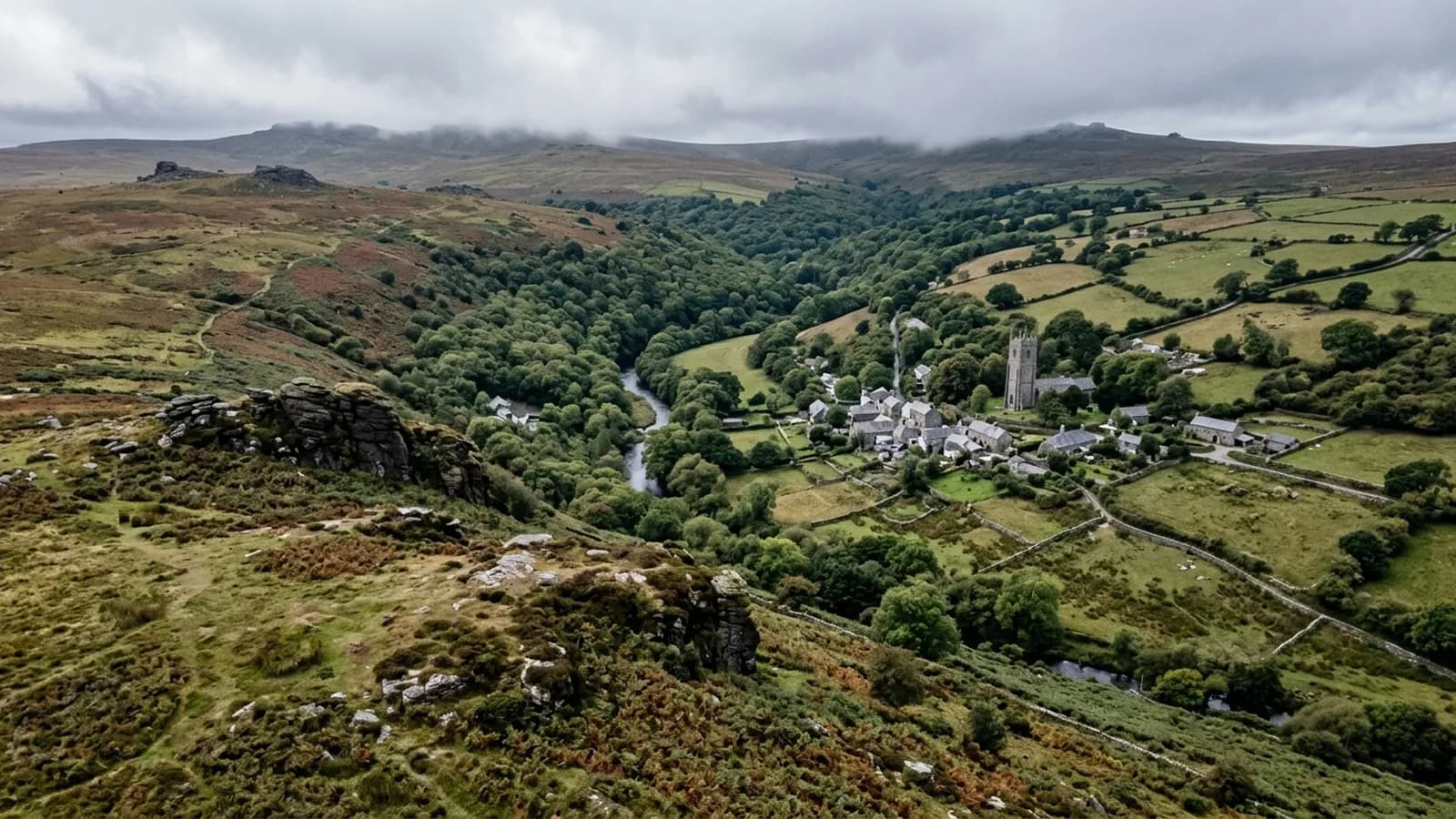
A hilltop former county town catching weather off two moors, where slate hanging on exposed elevations exists precisely because of the driving rain.
Slate hanging as a weather answer
Wind-driven rain from the south west is the defining condition here, with Bodmin Moor to the south west and Dartmoor further east, and the town standing high above the Kensey valley. Slate hanging on exposed elevations is common in Launceston for exactly that reason: it is a wall covering that sheds driven rain.
It works, and it also conceals. A hung slate elevation hides the wall behind it, so a fixing failure or a damp problem develops out of sight. What shows in a photograph is the geometry: a course sitting proud, a run that has dropped, a dark line where water is tracking down behind.
A walled medieval core on a hill
The medieval core with its Georgian frontages sits inside the old walls, with the castle motte at the summit and Victorian terraces down the slopes. Modern estates and industrial units occupy the flatter ground near the A30.
Working in the old town means tight streets, steep ground and buildings that abut each other, so take off positions are planned in advance. The flatter modern ground is straightforward by comparison.
Delabole slate and its habits
Delabole slate is a Cornish material with a long life and its own characteristics. It is thicker and heavier than some slates, it weathers to a distinctive grey, and roofs covered in it are often older than they look.
Age shows in the fixings rather than in the slate. Nail sickness, where the fixings corrode while the slates remain sound, produces a slow slipping pattern across a slope that is unmistakable in a photograph taken from ridge height and easy to miss from the road.
A border town for two counties
Launceston is the gateway into Cornwall and jobs here frequently sit alongside work in west Devon. The A30 makes it accessible, and travel is inside the fixed price so an address on either side of the Tamar prices the same way.
The steam railway and the Kensey valley give open ground below the town, which is useful for approaches to the lower streets.
The castle, the steam railway and the ground below the town
The castle motte at the summit and the Kensey valley below give Launceston an unusual vertical range for a small town, and properties at the two extremes have very different exposure. The valley is sheltered, the summit is not, and the streets between are somewhere in the middle.
That is the first thing worth establishing on a PL15 enquiry, because it changes what the survey is likely to find. A high, exposed elevation carries wind damage at the details, and a sheltered valley property carries damp and growth instead.
The steam railway and the open ground along the Kensey give sensible approaches from below, which is useful for the lower streets where there is no room to work from the road.
Behind the survey
What Launceston clients are actually buying
CAA registered
Registered with the Civil Aviation Authority as an operator, with both an Operator ID and a Flyer ID held. Anybody flying a camera drone for you should hold both.
A2 Certificate of Competency
The qualification that covers flying closer to buildings and to people than the basic rules allow. It is not a GVC and this site does not claim one.
Insured with Coverdrone
Commercial flights are covered by a Coverdrone policy. A copy of the certificate is available on request, and most managing agents will ask for it.
One named surveyor
Sam Hembury plans and flies every job himself and writes up every report. There is no crew and no subcontractor, so the person you speak to is the person who turns up.
DJI Mavic 4 Pro
A 100 megapixel Hasselblad camera and 6K video. That resolution is the reason a cracked mortar joint is readable in a photograph taken from twenty metres away.
DJI Mavic 2 Enterprise Advanced
Carries a 640 by 512 radiometric thermal camera alongside the ordinary one, which is a different job: heat and moisture rather than condition.
Report within 48 hours
The written report follows the flight within 48 hours. It is a process commitment rather than a promise about what the report will find.
Construction background
The reports are written by somebody who worked in construction before flying, so a defect is described in the words a builder or a roofer will use back to you.
Nearby
Also covered around Launceston
- BudeAs exposed as anywhere on this list, where Atlantic gales regularly strip ridge tiles and lift shallow-pitch coverings on the cliff-top estates.
- HolsworthyAn open plateau town in farming country with nothing between it and the Atlantic, where heavy clay ground keeps plant and scaffold off site all winter.
- TavistockA planned Victorian town in green Hurdwick stone on the wet western edge of Dartmoor, with tall stone chimneys that take serious wind loading.
- LiskeardA former mining town on high ground between Bodmin Moor and the coast, with substantial Victorian stone buildings and rainfall well above average.
See what it costs
Get a quote in Launceston
Send the address and what is worrying you. Sam Hembury will come back with a fixed price and the next slot that suits the weather.