Somerset · TA20
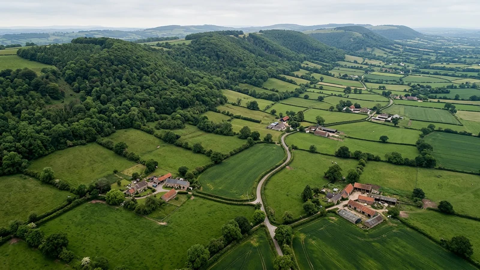
Drone survey in Chard
The highest town in Somerset, on a ridge over 120 metres up, exposed from every quarter and holding snow and frost longer than the land around it.
Altitude changes the maintenance cycle
Chard sits on a ridge above the Axe and Isle valleys, high enough that it holds snow and frost longer than the surrounding lowland. Streams either side of the main street run to opposite coasts, which is the local curiosity and also a fair description of how exposed the position is.
Longer frost periods mean more freeze and thaw cycles on the same mortar, and snow lying on a roof puts load on it and then melts into every gap as it goes. Both shorten the life of bedding and pointing, so the sensible inspection interval here is shorter than for a town in a valley twenty miles away.
Hamstone and what it does over time
The long Georgian and Victorian high street has hamstone and rendered frontages, with hamstone-bedded ridges on the older buildings. Hamstone weathers softly and pleasantly, but the same softness means bedding and detailing wear rather than fail, and the process is gradual.
That is a good subject for photography. A soft, gradual change is hard to notice from one year to the next by eye and easy to see in two images taken a few years apart, which is an argument for a record rather than a one-off visit.
Lace mill terraces and modern estates
Terraced lace-mill housing runs off the high street, with extensive post-war and modern estates on the lower slopes. The terraces have shared arrangements and the estates are conventional concrete tile, so the two produce different enquiries.
The lower slopes are noticeably less exposed than the ridge, which again means that where a property sits matters more than what it is made of.
Wind from every quarter
A ridge-top town has no sheltered side. Wind arrives from wherever it happens to be coming from that week, and a roof detailed for the prevailing direction is at some point going to meet the opposite one.
For flying, the practical result is that conditions here are less predictable than at lower altitude and a job is better booked to a window than to a morning. There is no shortage of open ground, so the constraint is the weather rather than the geography.
The reservoir, Snowdon Hill and the ground around the town
Chard Reservoir and the countryside around Snowdon Hill give the town an open setting, and properties on the approaches are as exposed as the ridge itself. Forde Abbey and the older buildings nearby are a reminder of how much historic fabric sits in this corner of Somerset.
For a TA20 enquiry the useful distinction is between the high street, which is dense and built up, and the surrounding properties, which are open and often set in their own ground. The first is a flying problem and the second is a weather one.
Snow is worth a mention because it is unusual in this coverage area. Load on a roof and meltwater finding every gap are both real here in a way they are not at sea level, and they are worth checking for after a hard spell.
Behind the survey
What Chard clients are actually buying
CAA registered
Registered with the Civil Aviation Authority as an operator, with both an Operator ID and a Flyer ID held. Anybody flying a camera drone for you should hold both.
A2 Certificate of Competency
The qualification that covers flying closer to buildings and to people than the basic rules allow. It is not a GVC and this site does not claim one.
Insured with Coverdrone
Commercial flights are covered by a Coverdrone policy. A copy of the certificate is available on request, and most managing agents will ask for it.
One named surveyor
Sam Hembury plans and flies every job himself and writes up every report. There is no crew and no subcontractor, so the person you speak to is the person who turns up.
DJI Mavic 4 Pro
A 100 megapixel Hasselblad camera and 6K video. That resolution is the reason a cracked mortar joint is readable in a photograph taken from twenty metres away.
DJI Mavic 2 Enterprise Advanced
Carries a 640 by 512 radiometric thermal camera alongside the ordinary one, which is a different job: heat and moisture rather than condition.
Report within 48 hours
The written report follows the flight within 48 hours. It is a process commitment rather than a promise about what the report will find.
Construction background
The reports are written by somebody who worked in construction before flying, so a defect is described in the words a builder or a roofer will use back to you.
Nearby
Also covered around Chard
- AxminsterA hilltop market town open to wind from every quarter, with former carpet and mill buildings carrying large spans of metal and asbestos cement.
- TauntonA large county town on a low vale floor that holds fog and frost, with continuing development on all four sides and a great deal of commercial roofing.
- YeovilA manufacturing town in hamstone country with very extensive post-war estates and large industrial spans, in one of the drier corners of this coverage.
- BridportUnusually wide Georgian streets laid out for rope walks, in a valley that funnels southerly weather up from West Bay onto the higher ground.
See what it costs
Get a quote in Chard
Send the address and what is worrying you. Sam Hembury will come back with a fixed price and the next slot that suits the weather.