Devon · EX13
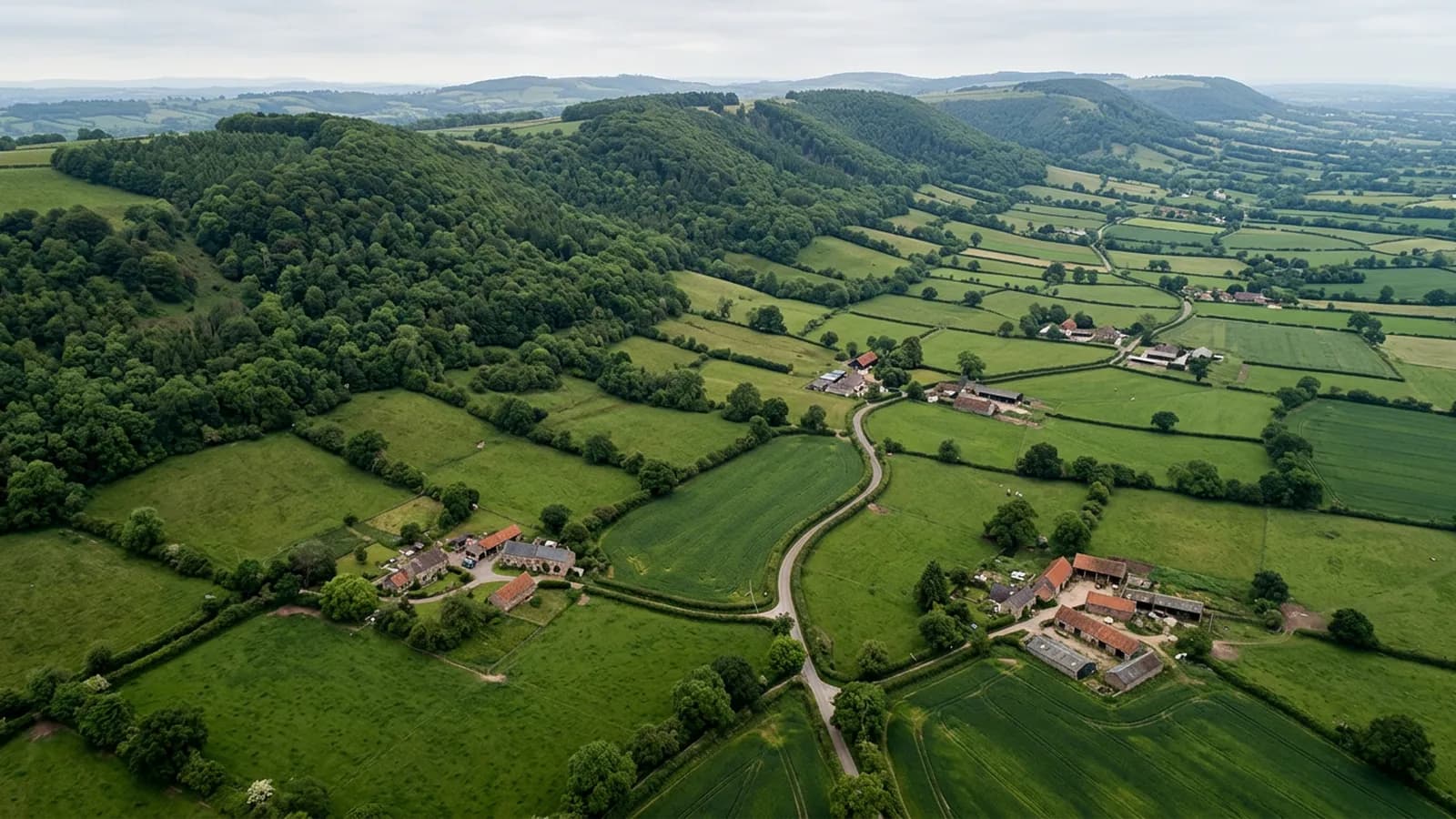
Drone survey in Axminster
A hilltop market town open to wind from every quarter, with former carpet and mill buildings carrying large spans of metal and asbestos cement.
Standing above everything around it
Axminster sits on a hill above the Axe valley near the Dorset border, with the land dropping away on three sides. That position leaves it open to wind from every quarter rather than from one prevailing direction, and the valley below funnels damp air upward.
For a roof that means exposed ridge and verge details take a beating from directions the original detailing may not have anticipated. On a building where the south-west face has been maintained and the north-east face has not, the difference is usually stark from above.
The industrial legacy
The town carries former mill and carpet factory buildings, which brings large-span metal and asbestos cement roofs into the local stock. Those are a distinct survey subject and one where nobody should be walking about on the covering at all.
Asbestos cement in particular is fragile with age and is not a surface to put weight on. An aerial pass records its condition, the state of the rooflights, where sheets have cracked and where water is tracking, with nothing touching the roof. That is the clearest case in this whole area for flying rather than climbing.
The Georgian centre and the estates
Around the Minster church and market square the stock is Georgian and Victorian, with post-war estates on the higher ground to the north. The centre has the usual historic complications of tight plots and shared boundaries, while the estates are straightforward concrete tile.
Trinity Square and the streets off it are tight for access, so take off tends to be from a yard or a car park rather than from the property itself.
A border town with two counties of clients
Being on the Devon and Dorset boundary, work here often runs into both counties in the same week, and the Axe valley farms are part of the same catchment. Farm buildings, like mill buildings, suit an aerial survey because the spans are large and the coverings are old.
For domestic clients the usual driver is a repair quote that needs a second look, or a sale that has stalled on a survey comment about the roof.
The river, the water meadows and access at the bottom of the hill
Below the town the Axe runs through water meadows that stay soft for much of the winter, and properties down there have access problems of a different kind from the ones on the hill. Soft ground stops vehicles and equipment long before it stops anything else.
For an EX13 address on the low ground that is the practical case for flying: the aircraft needs a firm few square metres and no vehicle access to the building at all, so a January survey is possible where a January scaffold is not.
The river also means mist and prolonged damp on the valley floor, so growth and slow decay are more of a feature down there than on the exposed ground around the market square.
Behind the survey
What Axminster clients are actually buying
CAA registered
Registered with the Civil Aviation Authority as an operator, with both an Operator ID and a Flyer ID held. Anybody flying a camera drone for you should hold both.
A2 Certificate of Competency
The qualification that covers flying closer to buildings and to people than the basic rules allow. It is not a GVC and this site does not claim one.
Insured with Coverdrone
Commercial flights are covered by a Coverdrone policy. A copy of the certificate is available on request, and most managing agents will ask for it.
One named surveyor
Sam Hembury plans and flies every job himself and writes up every report. There is no crew and no subcontractor, so the person you speak to is the person who turns up.
DJI Mavic 4 Pro
A 100 megapixel Hasselblad camera and 6K video. That resolution is the reason a cracked mortar joint is readable in a photograph taken from twenty metres away.
DJI Mavic 2 Enterprise Advanced
Carries a 640 by 512 radiometric thermal camera alongside the ordinary one, which is a different job: heat and moisture rather than condition.
Report within 48 hours
The written report follows the flight within 48 hours. It is a process commitment rather than a promise about what the report will find.
Construction background
The reports are written by somebody who worked in construction before flying, so a defect is described in the words a builder or a roofer will use back to you.
Nearby
Also covered around Axminster
- HonitonA famously uniform Georgian high street rebuilt after fire, sitting in a valley that holds fog and keeps roofs damp right through the winter.
- SeatonPost-war bungalows on the slopes and Victorian terraces on a front that is only metres from the beach, where shallow pitches shed water badly under wind pressure.
- Lyme RegisBuilt into an actively moving landslip coast, so the roofs here carry structural distortion on top of the usual salt and wind problems.
- ChardThe highest town in Somerset, on a ridge over 120 metres up, exposed from every quarter and holding snow and frost longer than the land around it.
See what it costs
Get a quote in Axminster
Send the address and what is worrying you. Sam Hembury will come back with a fixed price and the next slot that suits the weather.