Somerset · TA24
Drone survey in Minehead
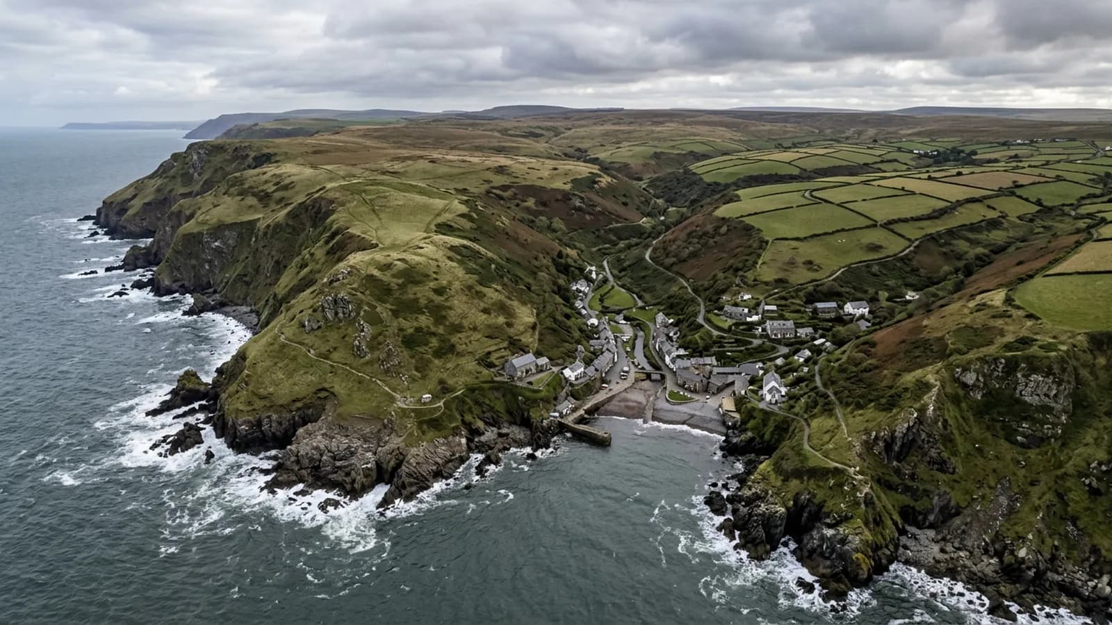
Sheltered from the south west by North Hill and wide open to the north, with the hill above producing strong downdraughts over the roofs beneath it.
Downdraughts off North Hill
North Hill rises steeply straight behind the town, sheltering it from the south west but leaving it open to northerly weather off the Bristol Channel. More importantly, the hill produces strong downdraughts and eddies over the roofs immediately beneath it.
A downdraught pushes air onto a roof rather than across it, which loads a covering in an unusual direction and can lift material at points that would be safe in ordinary wind. Properties directly under the hill behave differently from those a few streets further out, which is worth knowing before comparing two repair histories.
Thatch in the harbour quarter
The old harbour quarter has thatched and slate cottages and is picturesque enough to be well known. Thatch this close to the sea is a demanding maintenance proposition, and the ridge is always the first thing to go.
Photographs record the state of the ridge, the coatwork and the netting, and show the areas nobody can reach. A thatcher still makes the judgement about depth and remaining life, and the survey exists to point them at the right places.
A large holiday accommodation stock
Victorian and Edwardian resort villas and hotels, plus a very large holiday accommodation stock and post-war housing on the lower slopes, make up most of the town. Flat roofs on holiday accommodation are common.
For that stock the seasonal pattern applies as it does at Paignton and Bude: the useful survey happens before the season, when a finding can still be dealt with without losing bookings.
Working under a steep hill
The hill dictates the flying as well as the weather. Approaches from the seaward side are open and straightforward, and approaches from the hill side need more care because of the terrain and the air moving over it.
The harbour, the quay and the West Somerset Railway are features to plan around, and the town has enough open ground that take off positions are rarely difficult.
The railway, the quay and a town that fills up in summer
The West Somerset Railway, the harbour and the quay give the town a working core alongside the holiday one, and the buildings that serve both have commercial roofs rather than domestic ones. Long spans, plant and flat areas that nobody sees are the usual features.
Timing is the local planning point. A TA24 town centre address is a great deal easier to work around in February than in August, and for anything close to the harbour or the front the sensible arrangement is early in the day or out of season.
For holiday accommodation owners the winter visit has a second advantage beyond convenience. A roof photographed in a quiet month, with the building empty, can be inspected thoroughly and written up without anybody having to work around guests.
Behind the survey
What Minehead clients are actually buying
CAA registered
Registered with the Civil Aviation Authority as an operator, with both an Operator ID and a Flyer ID held. Anybody flying a camera drone for you should hold both.
A2 Certificate of Competency
The qualification that covers flying closer to buildings and to people than the basic rules allow. It is not a GVC and this site does not claim one.
Insured with Coverdrone
Commercial flights are covered by a Coverdrone policy. A copy of the certificate is available on request, and most managing agents will ask for it.
One named surveyor
Sam Hembury plans and flies every job himself and writes up every report. There is no crew and no subcontractor, so the person you speak to is the person who turns up.
DJI Mavic 4 Pro
A 100 megapixel Hasselblad camera and 6K video. That resolution is the reason a cracked mortar joint is readable in a photograph taken from twenty metres away.
DJI Mavic 2 Enterprise Advanced
Carries a 640 by 512 radiometric thermal camera alongside the ordinary one, which is a different job: heat and moisture rather than condition.
Report within 48 hours
The written report follows the flight within 48 hours. It is a process commitment rather than a promise about what the report will find.
Construction background
The reports are written by somebody who worked in construction before flying, so a defect is described in the words a builder or a roofer will use back to you.
Nearby
Also covered around Minehead
- BridgwaterFlat and low beside the Somerset Levels, with wind coming unbroken off the Bristol Channel and ground so wet it matters for access as well as for damp.
- TauntonA large county town on a low vale floor that holds fog and frost, with continuing development on all four sides and a great deal of commercial roofing.
- South MoltonA Georgian market town on the southern approach to Exmoor, surrounded by livestock farms whose exposed buildings take sustained wind loading.
See what it costs
Get a quote in Minehead
Send the address and what is worrying you. Sam Hembury will come back with a fixed price and the next slot that suits the weather.